World Maps
A presentation of modern and historical images of the world and charts from the current era
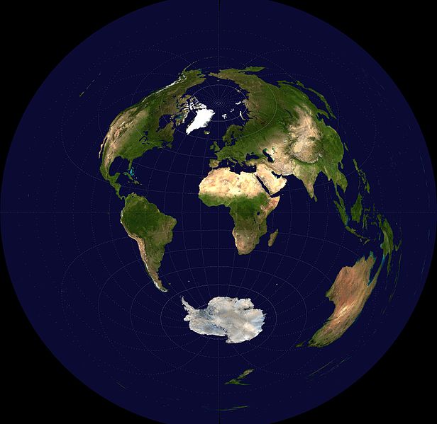
World Earth
Azmuthal equidistant projection, 2006
Visible earth image: reticle, 15 degrees in latitude and longitude
Earth Observatory
National Aeronautics Space Administration
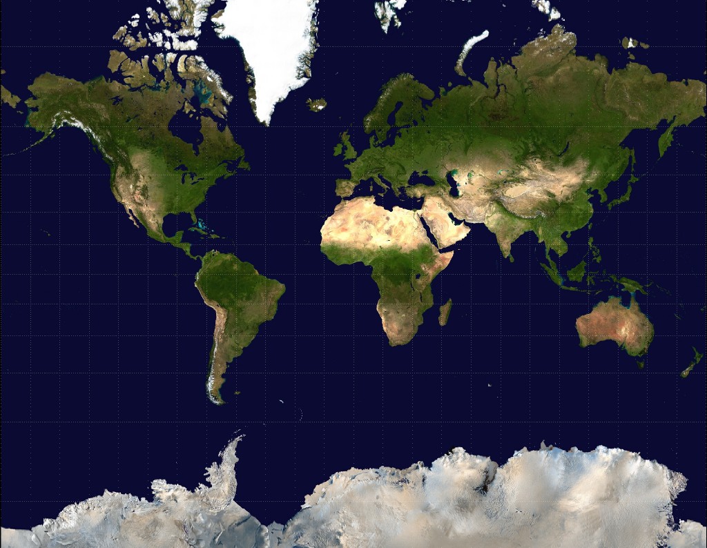
World Earth
Mercator projection, 2008
Visible earth image: reticle, 15 degrees in latitude and longitude
Earth Observatory
National Aeronautics Space Administration
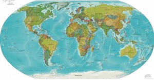
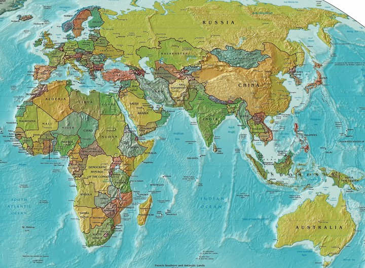
World Map
Old World
A Political and Physical World Map, 2005
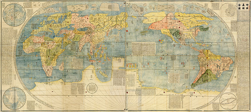
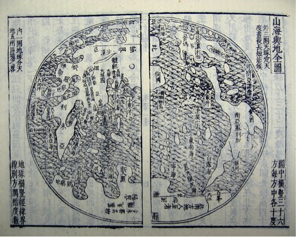
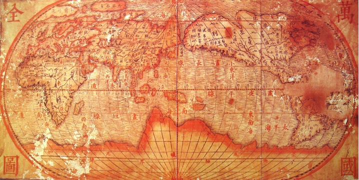
Early Asian Maps: Circa 1602-1620 A.D.
Matteo Ricci, S.J. (Italian, 1552-1610), Li Zhizhao 李之藻 (Chinese, 1565-1630) et al.
Kunyü Wanguo Qüantu 坤輿萬國全圖 (A Map of the Myriad Countries of the World, eds. 1584-1602), unattributed copy
Ink and color on paper
Image Database of the Kano Collection, Tohoku University Library
Sendai, Japan
Wang Qi 王圻 (Chinese, 1530-1615) and Wang Siyi 王思義 (Chinese, active ca. 1607-1609)
Shanhai yüdi qüantu 山海輿地全圖 (Mountains and Seas World Map, 1609)
in the Sancai tuhui 三才圖會 (Collected Illustrations of the Three Realms, 1609)
Giulio Aleni, J.S. (Italian, 1582-1649)
Wanguo quantü 萬國全圖 (Complete Map of the Myriad Countries of the World, ca. 1620)
Early European Maps: Circa 150-1570 A.D.
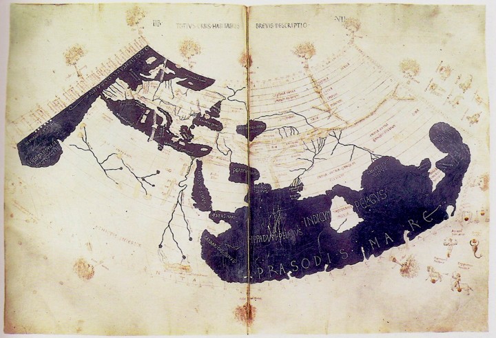
Claudius Ptolemy (Greek, ca. 90-168), Geographia, ca. 150
The Ptolemy World Map, 2nd century
Reconstructed for editions printed in Bologna, 1477 and Rome, 1478
The British Library
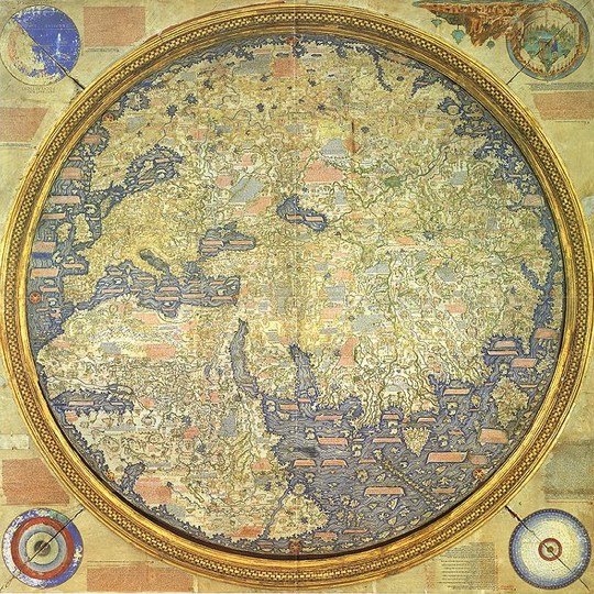
Fra Mauro (Venetian, 15th century)
Map of the Old World, 1460
Ink and color on parchment, inverted
Biblioteca Nazionale Marciana, Venice
Piero Falchetta (Italian, 1951-present),
Fra Mauro Map Reconstruction, 2006
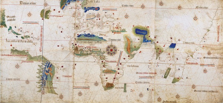
Alberto Cantino (Italian, active 15th century)
Cantino planisphere (Cantino World Map), 1502
Ink and color on parchment
Biblioteca Estense, Modena
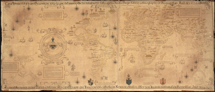
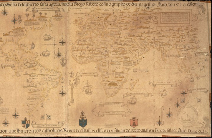
Diogo Ribeiro (Portuguese, active ca. 1518-1532)
World Map (Second Borgian Map, 1529), 1539
Ink on vellum
Facsimile copied in 1887 [?] in London by W. Griggs, (English, 19th century) from the original Carta Universal (Propaganda Map) in the Biblioteca Apostolica Vaticana,
Vatican City
National Library of Australia World Map
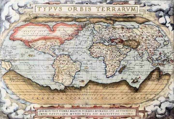
Abraham Ortelius (Flemish, 1527-1598)
Theatrum Orbis Terrarum (Theater of the World), 1570
Cooper plate engraving: ink on paper
Antwerp: Gilles Coppens de Diest, 1570
University Library of Basel, Switzerland

